Gathering data
The Mobile Applications Group is working on a medium-sized experiment where people will push baby-strollers around on the instructions of a mobile application. The experiment will focus on the user’s subjective experience of the routes they had to follow, but first we need to make sure routes actually exist.
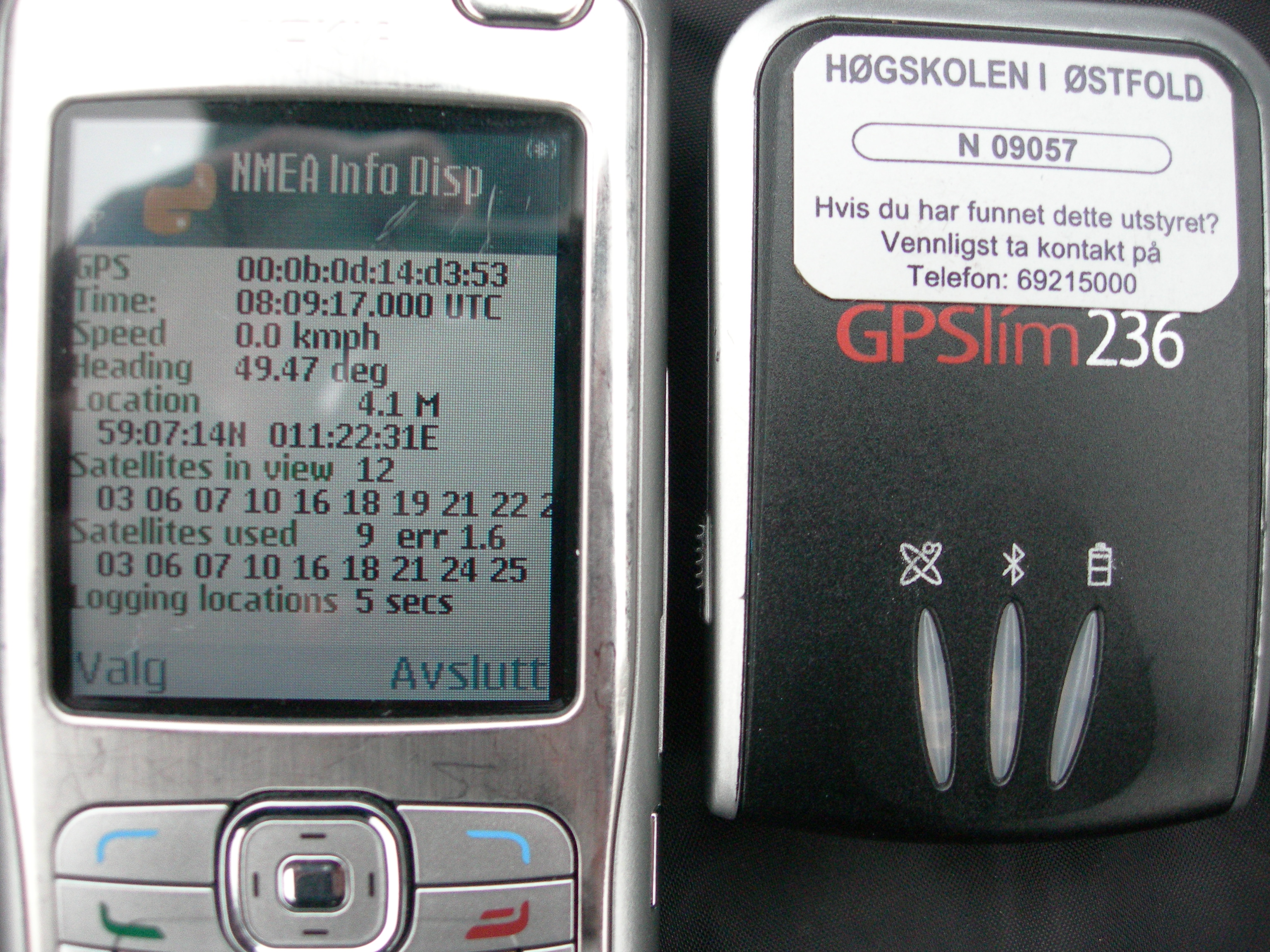
Our basic network comes from the OpenStreetMaps initiative, so when our network is missing pieces, it means their network is missing pieces. The obvious solution is to help the OSM people get a better network, so we got ourselves some Python scripts from Nick Burch and plugged them into our Nokia series 60 phones (an N90, an N70, and a 6630). The scripts gather GPGGA strings from any Bluetooth connected GPS available to the phone, and can export these to GPX files. At the end of the day, we imported these files to the JOSM editor where we used them as basis for drawing line-segments which we uploded to the OSM map server. But more about that process somewhere else.
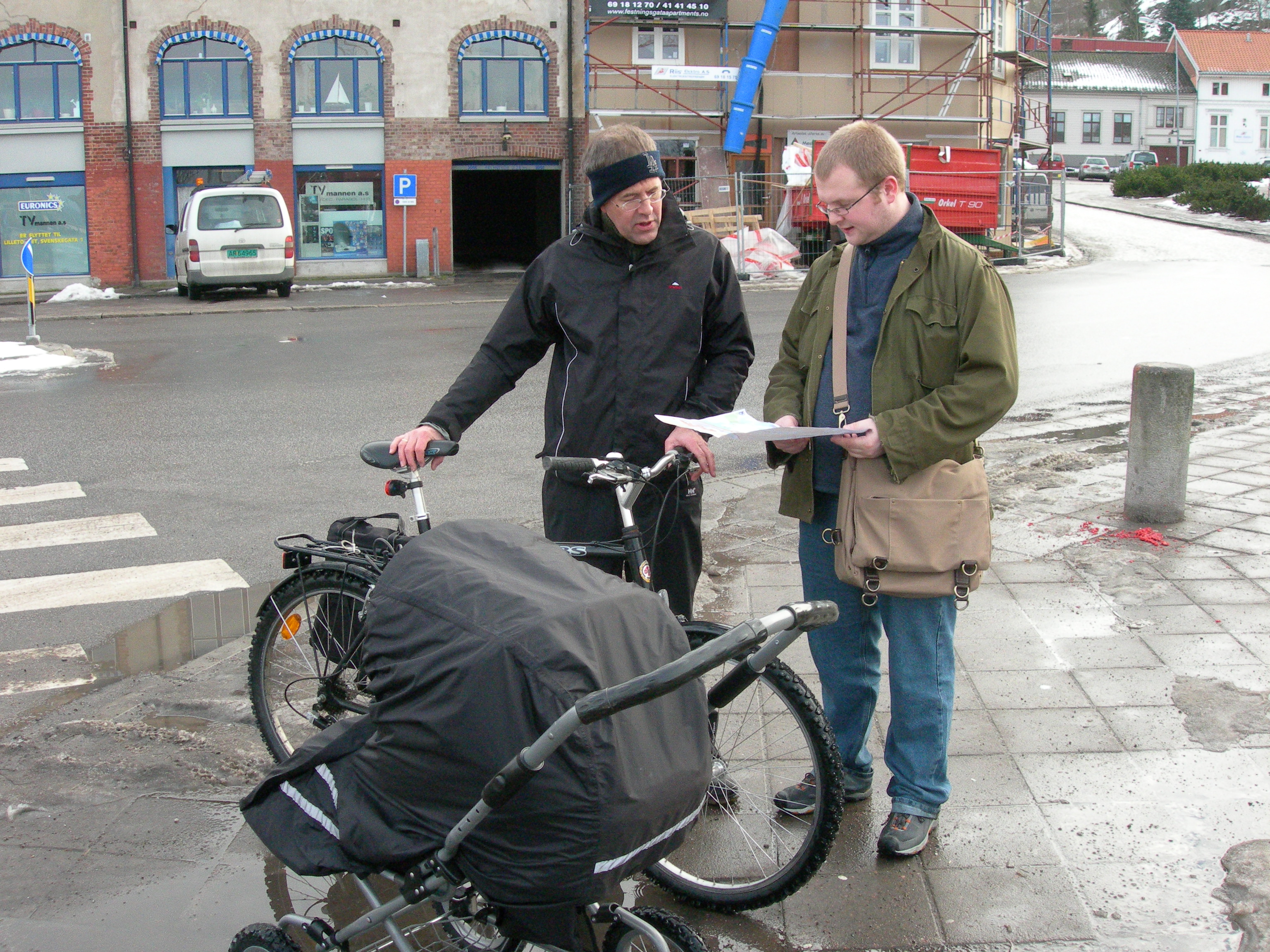
For the mapping, we started at Høvleriet near the Tista mall. Harald had brought a baby-stroller and a 15kg. bag of sand, Gunnar had brought a bike, and I had brought a Pocket PC with the latest version of Okapi running. Obviously, I won the competition for having the least hassle with stuff.
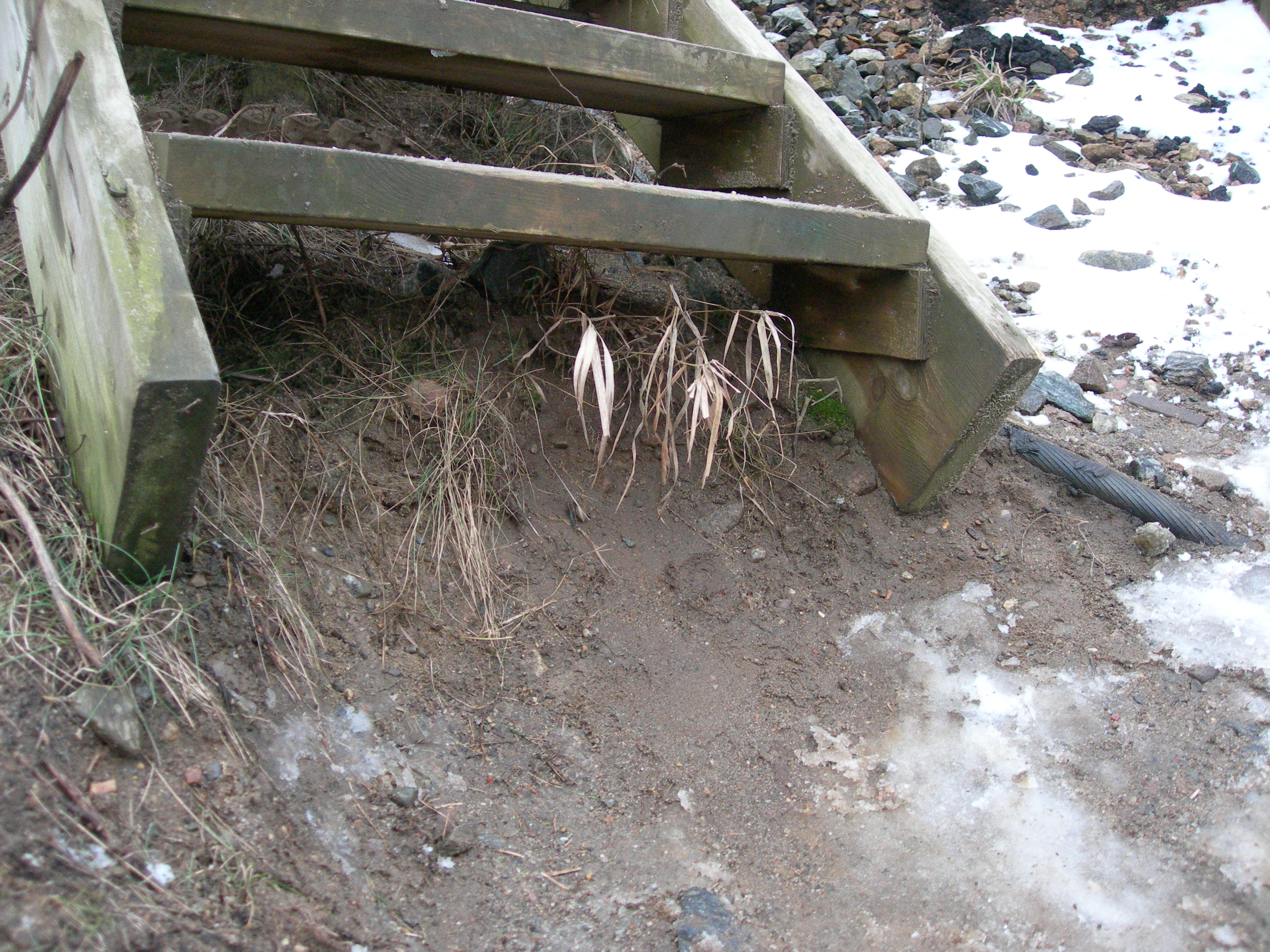
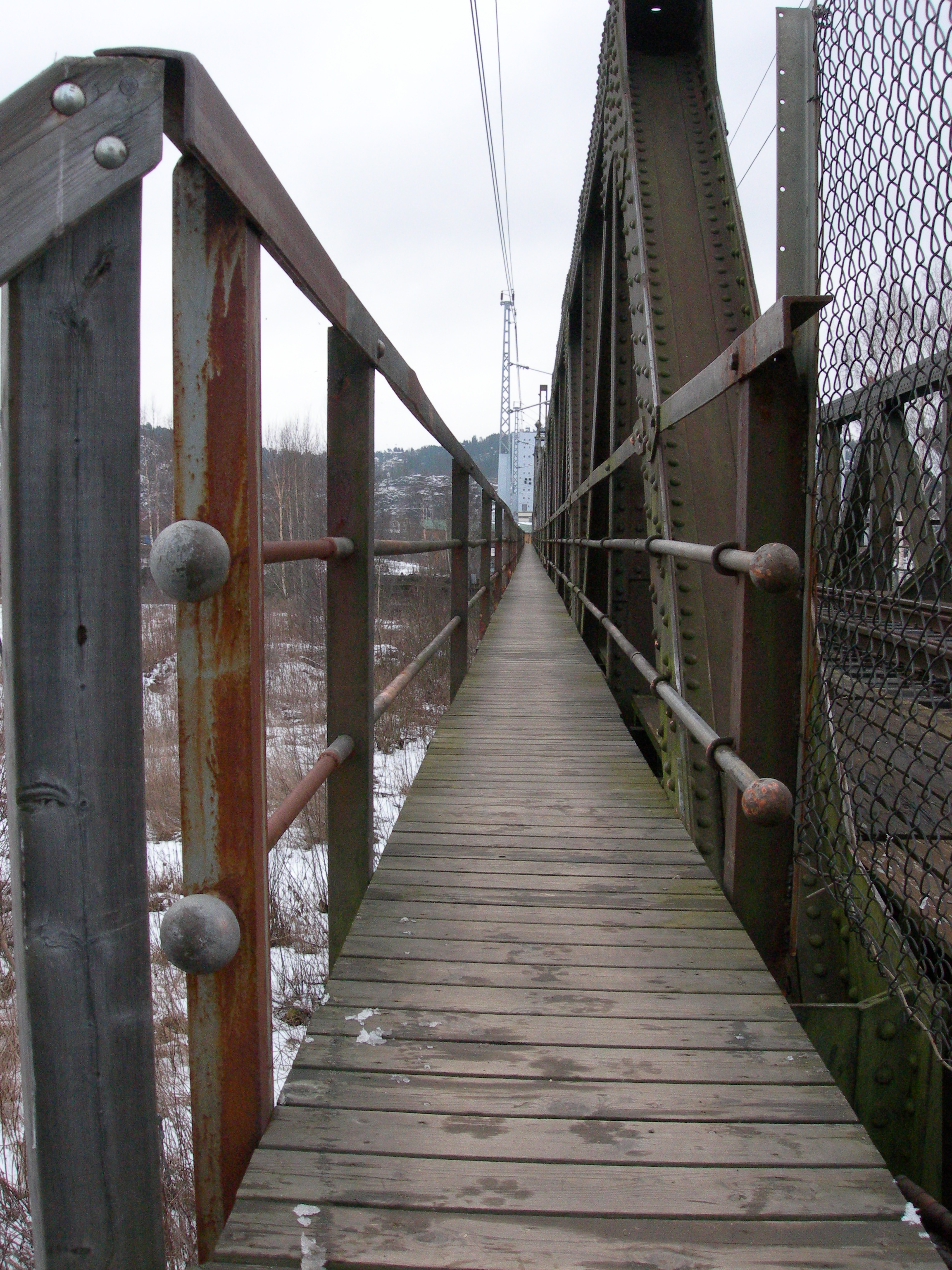
Initially, we planned to have Gunnar bicycle one way while Harald and I walked another way and then meet up at the docks for further planning. Circumstances conspired against us (as they will always do on any field-trip, so one should always have a plan B) and Harald was forced to turn around after just two minutes of walking and two minutes of climbing. The walkway on railway bridge we had planned to use was just too narrow for the baby-stroller. Plan B: I walk across the bridge and map out that area alone, Harald meet me and Gunnar at the preplanned spot.
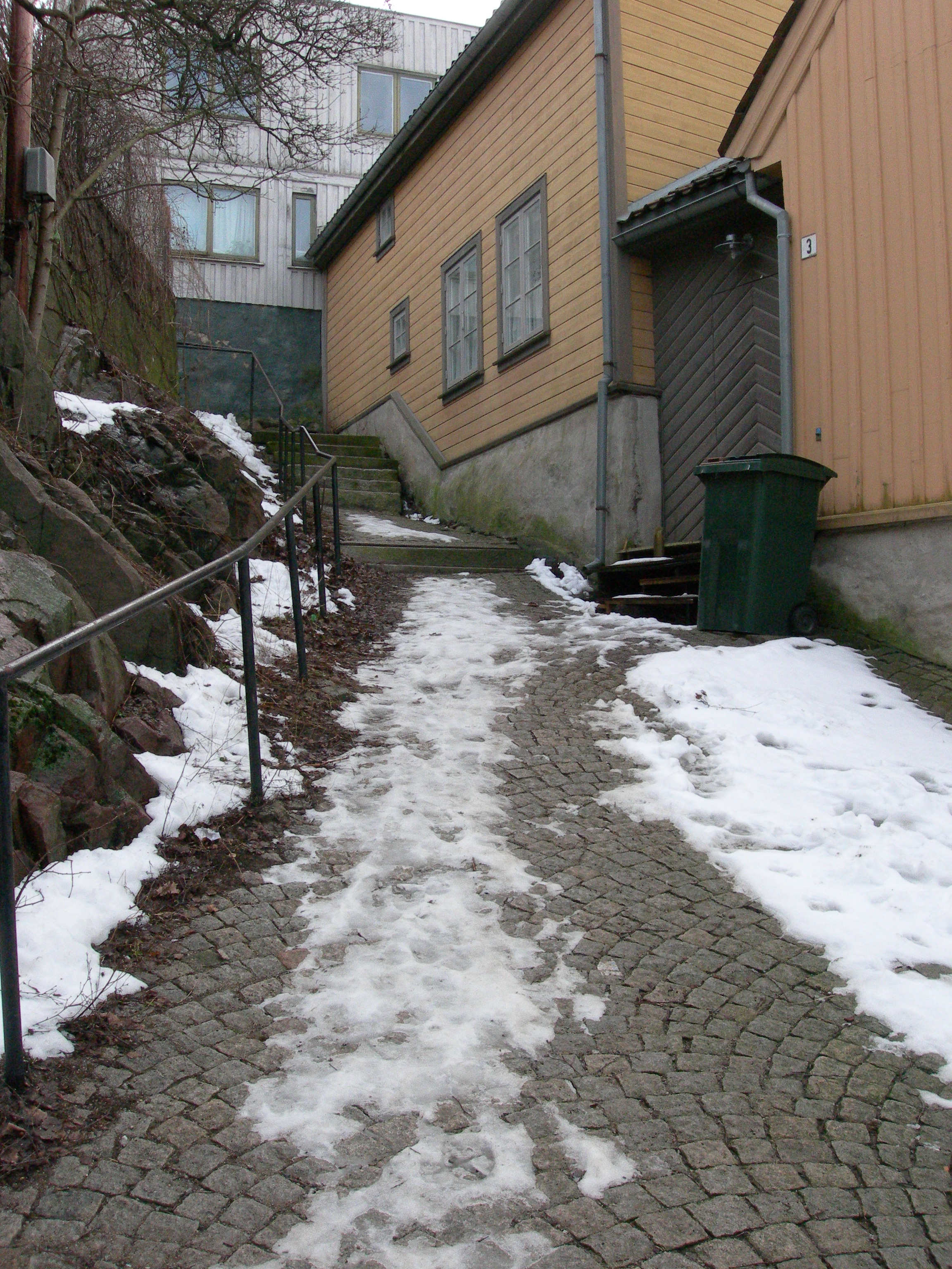
After the docks, we moved on to south Halden, focusing on the area around Kongen’s Brygge and the plaza, and then the small, charming roads on the slope towards the Fredriksten Fortress. Charming in this context means steep and with cobblestones instead of pavement. If any of our users are sent this way, they won’t be giving us very good grades, I think.
 Sadly, at this point we noticed a glitch in one of our mobile phones. Rather than having recorded the rough two hours we’d been walking about, the phone had recorded three minutes of GPS logs and then promptly died. The N90 seemed to be having an allergic reaction to the Python scripts which neither of the two other phones had. This cost us almost half of all the roads we had already covered, and the mood took a turn for the gloomy.
Always thinking of B plans, we then decided to walk though the city center and have lunch to brighten the day. On the way there, we gathered GPS tracks for a few more streets which more or less completed downtown Halden (provided one can say that a small town as Halden has a downtown) including the park. We didn’t even feel awkward at all walking in circles around the park, pushing a baby-stroller without a baby, and staring intently at mobile phones every now and then.
After a filling lunch, we packed up for the day and went back home where we dumped the GPS tracks that had survived hand began plotting tracks. In the end, we managed to create quite a few tracks in the few hours we had, and we’re getting close to a point where the experiment can commence.


Leave a comment